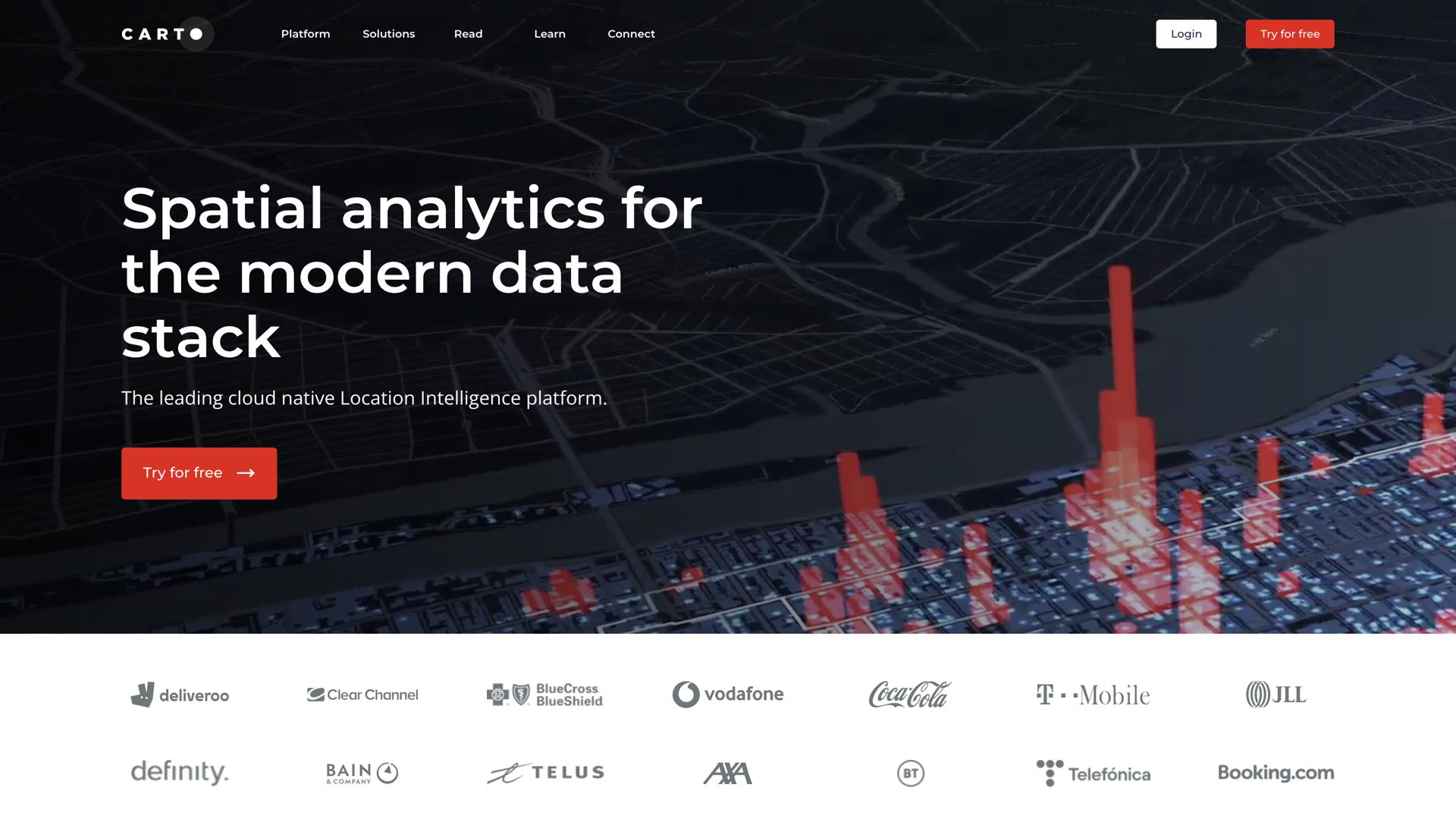
Carto AI – Advanced Location Intelligence & Mapping
Introduction to Carto AICarto AI is a powerful location intelligence tool that leverages artificial intelligence to analyze spatial data and generate actionable insights. It enables businesses, researchers, and organizations to make data-driven decisions using advanced mapping and geospatial analytics.
How Carto AI WorksCarto AI processes large volumes of geospatial data, applying AI algorithms to identify patterns, trends, and relationships. It helps users visualize complex datasets through interactive maps and dashboards, making location-based decision-making more efficient.
- AI-Powered Geospatial Analysis: Identifies trends and correlations in location data.
- Custom Mapping Solutions: Allows users to create dynamic, data-driven maps.
- Predictive Modeling: Uses machine learning to forecast spatial trends.
- Seamless Data Integration: Connects with various data sources for real-time analysis.
Carto AI is designed for professionals who need advanced mapping and analytics capabilities. Its AI-driven insights help businesses optimize operations, improve logistics, and enhance customer engagement.
- Data-Driven Decision Making: Leverages AI insights for better planning.
- Scalable & Customizable: Adapts to different industries and use cases.
- Interactive Visualization: Transforms raw data into easy-to-understand maps.
- Cloud-Based Access: Enables remote collaboration and real-time updates.
Carto AI offers an extensive suite of geospatial tools to simplify location intelligence.
- Geocoding & Spatial Analysis: Converts raw data into meaningful location insights.
- Predictive AI Models: Forecasts trends based on historical and real-time data.
- Real-Time Data Processing: Analyzes location data instantly for quick decision-making.
- Industry-Specific Solutions: Supports applications in retail, logistics, urban planning, and more.
Carto AI is ideal for businesses and organizations that rely on geospatial data for decision-making.
- Retail & E-commerce: Optimizes store locations and supply chain routes.
- Urban Planners: Uses AI for city planning and infrastructure development.
- Logistics & Transportation: Enhances delivery routes and fleet management.
- Environmental Researchers: Analyzes climate and geographic patterns for sustainability.
With AI-driven analytics, Carto AI provides deeper insights into spatial data, allowing businesses and organizations to stay ahead in a data-centric world. Its predictive modeling capabilities make it a valuable asset for planning and optimization.
ConclusionCarto AI revolutionizes location intelligence by offering cutting-edge geospatial analytics powered by AI. It helps users visualize data, make strategic decisions, and unlock new opportunities with location-based insights.
